Geolocate

Lincoln City topographic map

Click on the map to display elevation.

About this map

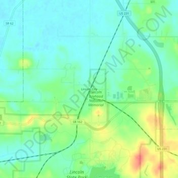
Name: Lincoln City topographic map, elevation, terrain.

Location: Lincoln City, Spencer County, Indiana, 47552, United States (38.10116 -87.01861 38.14116 -86.97861)

Average elevation: 137 m

Minimum elevation: 118 m

Maximum elevation: 176 m

Other topographic maps

Click on a map to view its topography, its elevation and its terrain.

Rockport

United States > Indiana > Spencer County

Average elevation: 121 m

Santa Claus

United States > Indiana > Spencer County

Average elevation: 143 m

Spencer County

United States > Indiana > Spencer County

Average elevation: 134 m

Rockport

United States > Indiana > Spencer County

Average elevation: 121 m

Gear up for your next adventure:

💧Collapsible Water Bottle - Space-saving water bottle for outdoor activities
Family Camping Tent - Spacious tent suitable for family camping trips
🧰Survival Kit - Essential gear for emergencies in the wilderness
🛶Canoe Life Vest - Safety vest for water sports
💧Filtered Water Bottle - Safe drinking water on the go

As an Amazon Associate, this site earns from qualifying purchases at no extra cost to you.