Geolocate

Missouri Valley topographic map

Click on the map to display elevation.

About this map

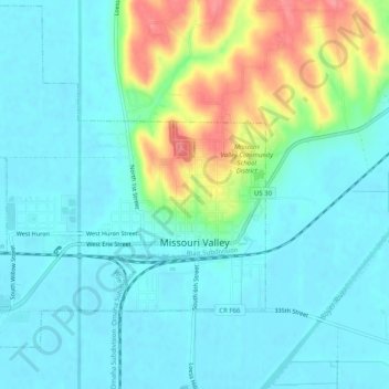
Name: Missouri Valley topographic map, elevation, terrain.

Location: Missouri Valley, Harrison County, Iowa, 51555, United States (41.54281 -95.92891 41.57937 -95.87878)

Average elevation: 322 m

Minimum elevation: 301 m

Maximum elevation: 384 m

Gear up for your next adventure:

🏕️Camping Hammock - Integrated protection for sleeping between trees
🥾Waterproof Hiking Shoes - Durable shoes for wet and rugged trails
🧢Outdoor Visor - Breathable visor for sunny hikes
🔋Lithium AA Batteries - Long-lasting power that performs in extreme cold
💡LED Camping Lantern - Illuminate your campsite with long-lasting lanterns

As an Amazon Associate, this site earns from qualifying purchases at no extra cost to you.