
kalana topographic map
Click on the map to display elevation.
About this map
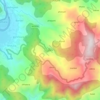
Name: kalana topographic map, elevation, terrain.
Location: kalana, Bāgeshwar, Bageshwar, Uttarakhand, 263642, India (29.81698 79.78312 29.85698 79.82312)
Average elevation: 1,233 m
Minimum elevation: 871 m
Maximum elevation: 1,664 m