Geolocate

Mabayo topographic map

Click on the map to display elevation.

About this map

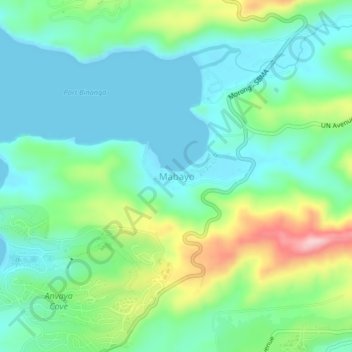
Name: Mabayo topographic map, elevation, terrain.

Location: Mabayo, Morong, Bataan, Central Luzon, 2108, Philippines (14.71095 120.25565 14.75095 120.29565)

Average elevation: 59 m

Minimum elevation: 0 m

Maximum elevation: 213 m

Gear up for your next adventure:

🧰Emergency Multi-Tool - Compact multi-tool for outdoor survival
🧥Packable Rain Jacket - Breathable waterproof layer for unpredictable weather
🧥Waterproof Jacket - Lightweight rain jackets for hiking and outdoor activities
🥾Waterproof Trail Shoes - Shoes designed to handle wet terrain
🛶Canoe Life Vest - Safety vest for water sports

As an Amazon Associate, this site earns from qualifying purchases at no extra cost to you.