
Gambarsari topographic map
Interactive map
Click on the map to display elevation.
About this map
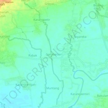
Name: Gambarsari topographic map, elevation, terrain.
Location: Gambarsari, Purbalingga, Java central, 53381, Indonésie (-7.45158 109.34049 -7.41158 109.38049)
Average elevation: 32 m
Minimum elevation: 23 m
Maximum elevation: 57 m