Geolocate

Magat Dam topographic map

Click on the map to display elevation.

About this map

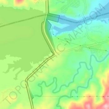
Name: Magat Dam topographic map, elevation, terrain.

Location: Magat Dam, Santiago, Isabela, Cagayan Valley, Philippines (16.80412 121.44780 16.83477 121.45784)

Average elevation: 175 m

Minimum elevation: 104 m

Maximum elevation: 294 m

Gear up for your next adventure:

Lightweight Camping Tent - Portable shelter optimized for Canadian backcountry camping
🕶️Polarized Sunglasses - Reduces glare from snow and water at high elevations
🎒Backpack Rain Cover - External shield to keep your entire pack dry
🏕️Camping Hammock - Integrated protection for sleeping between trees
🧣Evaporative Cooling Towel - Beat the heat during intense summer climbs

As an Amazon Associate, this site earns from qualifying purchases at no extra cost to you.