
Salang topographic map
Click on the map to display elevation.
About this map
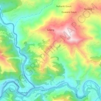
Name: Salang topographic map, elevation, terrain.
Location: Salang, Siddhalek, Dhading, Bagmati Pradesh, Nepal (27.80755 84.76542 27.87380 84.84722)
Average elevation: 717 m
Minimum elevation: 310 m
Maximum elevation: 1,517 m