Geolocate

Gloriabamba topographic map

Click on the map to display elevation.

About this map

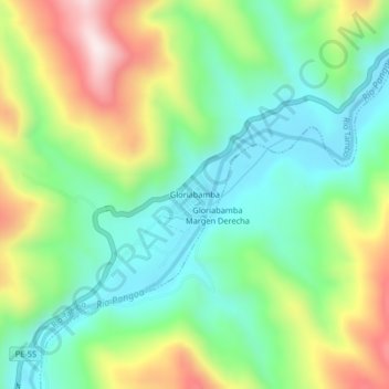
Name: Gloriabamba topographic map, elevation, terrain.

Location: Gloriabamba, Río Tambo, Satipo, Junín, Perú (-11.20832 -74.38805 -11.16832 -74.34805)

Average elevation: 520 m

Minimum elevation: 332 m

Maximum elevation: 863 m

Gear up for your next adventure:

🧴Outdoor Sunscreen - High SPF protection for high-altitude UV exposure
🥾Hiking Leggings - Comfortable leggings for outdoor activities
🔪Outdoor Multitool - Versatile tool for repairs and food prep in the wild
🥾Mountain Hiking Shoes - Shoes with superior grip for mountainous terrain
🥾Hiking Shoes - Durable and comfortable shoes for trail hiking

As an Amazon Associate, this site earns from qualifying purchases at no extra cost to you.