Geolocate

El Pinal topographic map

Click on the map to display elevation.

About this map

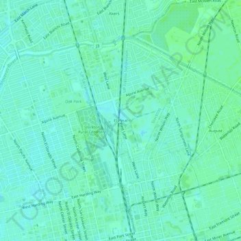
Name: El Pinal topographic map, elevation, terrain.

Location: El Pinal, Stockton, San Joaquin County, California, 95205, United States (37.96048 -121.30217 38.00048 -121.26217)

Average elevation: 8 m

Minimum elevation: 4 m

Maximum elevation: 12 m

Other topographic maps

Click on a map to view its topography, its elevation and its terrain.

Gear up for your next adventure:

🕶️Polarized Sunglasses - Protect your eyes with durable polarized lenses
🧥Waterproof Hiking Jacket - Protect yourself from rain and wind while hiking
🧥Waterproof Pants - Keep dry during rainy hiking conditions
🛏️Sleeping Bag - Warm and compact sleeping bags for outdoor camping
🧼Biodegradable Camp Soap - Environmentally friendly cleaning for gear and body

As an Amazon Associate, this site earns from qualifying purchases at no extra cost to you.