Geolocate

Sorata topographic map

Click on the map to display elevation.

About this map

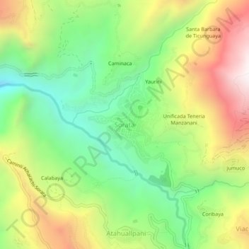
Name: Sorata topographic map, elevation, terrain.

Location: Sorata, Provincia Larecaja, La Paz, Bolivia (-15.79281 -68.66993 -15.75281 -68.62993)

Average elevation: 2,863 m

Minimum elevation: 2,334 m

Maximum elevation: 3,589 m

Gear up for your next adventure:

🔦LED Headtorch - Bright and durable light for night activities
🧶550 Survival Paracord - Versatile utility cord for emergency repairs and rigging
🥾Hiking Gaiters - Protect legs and shoes from mud, snow, and debris
💧Hydration Pack - Hands-free hydration system for long hikes
🧥Softshell Hiking Jacket - The perfect balance of wind protection and breathability

As an Amazon Associate, this site earns from qualifying purchases at no extra cost to you.