
Lac Andou topographic map
Click on the map to display elevation.
About this map
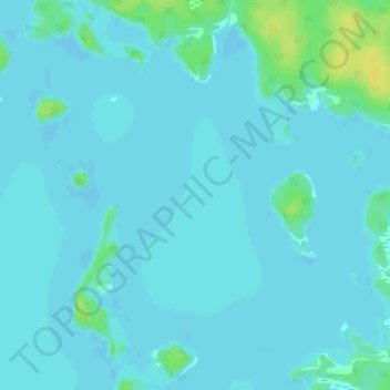
Name: Lac Andou topographic map, elevation, terrain.
Average elevation: 357 m
Minimum elevation: 354 m
Maximum elevation: 373 m
La Vallée-de-l'Or trails, hiking, mountain biking, running and outdoor activities