Geolocate

Makemo topographic map

Click on the map to display elevation.

About this map

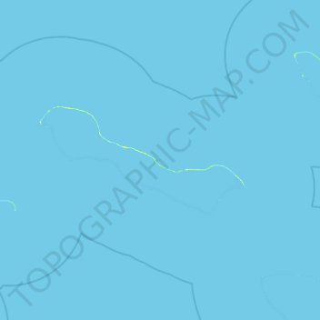
Name: Makemo topographic map, elevation, terrain.

Location: Makemo, Tuamotu-Gambier, French Polynesia, France (-16.94735 -144.13417 -16.23518 -143.17049)

Average elevation: 0 m

Minimum elevation: 0 m

Maximum elevation: 10 m

Gear up for your next adventure:

🧤Rechargeable Heated Gloves - Extreme warmth for Canadian winter expeditions
🏕️Camping Hammock - Integrated protection for sleeping between trees
Camping Groundsheet - Protect your tent from moisture and dirt
🧭Orienteering Kit - Tools for map reading and navigation in the wild
🥾Trekking Boots - Durable boots for long-distance trekking

As an Amazon Associate, this site earns from qualifying purchases at no extra cost to you.