Geolocate

White Fox topographic map

Click on the map to display elevation.

About this map

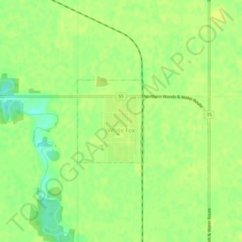
Name: White Fox topographic map, elevation, terrain.

Location: White Fox, Division No. 14, Saskatchewan, Canada (53.44540 -104.09387 53.45460 -104.08143)

Average elevation: 371 m

Minimum elevation: 360 m

Maximum elevation: 375 m

Division No. 14 trails, hiking, mountain biking, running and outdoor activities

Other topographic maps

Click on a map to view its topography, its elevation and its terrain.

Garrick

Canada > Saskatchewan > Division No. 14

Average elevation: 429 m

Gear up for your next adventure:

💡Solar Camping Lamp - Eco-friendly lighting for campsites
🍽️Titanium Camping Spork - Ultralight and indestructible eating utensil
🥾Trekking Poles - Adjustable trekking poles to reduce knee stress and improve stability
💡Compact LED Flashlight - Powerful and portable flashlight for outdoor use
💡LED Headlamp - Hands-free illumination for night hiking and camping

As an Amazon Associate, this site earns from qualifying purchases at no extra cost to you.