Geolocate

Emerson topographic map

Click on the map to display elevation.

About this map

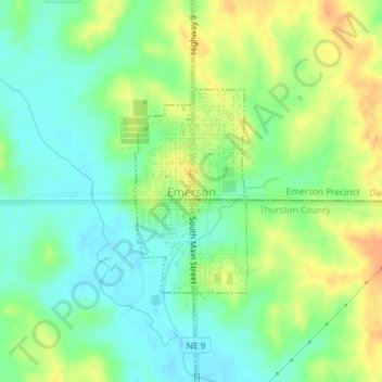
Name: Emerson topographic map, elevation, terrain.

Location: Emerson, Dixon County, Nebraska, United States (42.27140 -96.73209 42.28578 -96.72141)

Average elevation: 445 m

Minimum elevation: 428 m

Maximum elevation: 468 m

Gear up for your next adventure:

Backpacking Tent - Lightweight tent for long-distance hiking trips
🧦Thermal Socks - Warm socks for winter hiking or camping
🛌Insulated Sleeping Pad - Critical thermal barrier between you and the cold ground
🪑Ultralight Camping Stool - Compact seating for rest stops during long hikes
🧴Bear Spray Holster - Quick-access carry for essential Canadian wilderness safety

As an Amazon Associate, this site earns from qualifying purchases at no extra cost to you.