Geolocate
👉 Easily get elevation data in JSON, GeoTIFF and KML formats using Elevation API
Thank you for supporting this site ❤️
Make a donation

Lake Isabelle topographic map

Click on the map to display elevation.

About this map

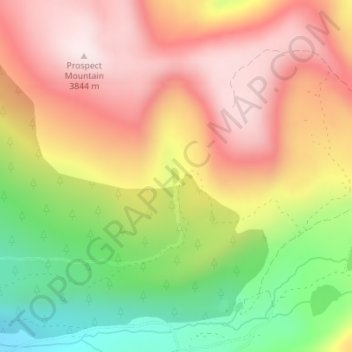
Name: Lake Isabelle topographic map, elevation, terrain.

Location: Lake Isabelle, Lake County, Colorado, United States (39.26902 -106.22862 39.27027 -106.22782)

Average elevation: 3,600 m

Minimum elevation: 3,294 m

Maximum elevation: 3,847 m

Other topographic maps

Click on a map to view its topography, its elevation and its terrain.

Lake Creek

United States > Colorado > Lake County

Average elevation: 3,293 m

Mount Evans

United States > Colorado > Lake County

Average elevation: 3,828 m

Gear up for your next adventure:

🛏️Sleeping Bag - Warm and compact sleeping bags for outdoor camping
🧥Waterproof Hiking Jacket - Protect yourself from rain and wind while hiking
🥾Mountain Trail Shoes - High-traction shoes for mountain trails
🧢Outdoor Cap - Protective cap for sun and rain during hikes
🛶Kayak Accessories - Essential gear for safe and fun kayaking adventures

As an Amazon Associate, this site earns from qualifying purchases at no extra cost to you.