
Phon Sung topographic map
Interactive map
Click on the map to display elevation.
About this map
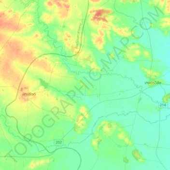
Name: Phon Sung topographic map, elevation, terrain.
Location: Phon Sung, Roi Et Province, Thailand (15.49153 103.29116 15.81153 103.61116)
Average elevation: 137 m
Minimum elevation: 125 m
Maximum elevation: 163 m
Other topographic maps
Click on a map to view its topography, its elevation and its terrain.
At Samat
Thailand > Roi Et Province > At Samat
At Samat, Roi Et Province, 45160, Thailand
Average elevation: 137 m
Ban Chan
Thailand > Roi Et Province > Ban Chan
Ban Chan, Roi Et Province, Thailand
Average elevation: 133 m