
Tianjin topographic map
Click on the map to display elevation.
Tianjin
The city has 153 km (95 mi) of coastline and 1,137.48 kilometers (706.80 mi) of land border. It is located at the northern end of the Grand Canal of China, which connects with the Yellow and Yangtze Rivers. The municipality is generally flat and is swampy near the coast; however, it has hills in the north, where the Yan Mountains enter Tianjin. Tidal flats occur on the coastal plain adjacent to the city. The highest point in the municipality is Jiuding Peak (九顶山) in Ji County on the northern border with Hebei; the mountain has an altitude of 1,078.5 m (3,538 ft).
About this map
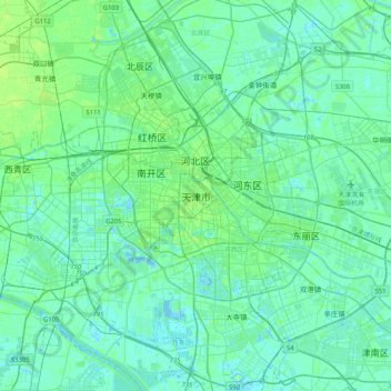
Name: Tianjin topographic map, elevation, terrain.
Location: Tianjin, Hexi District, Tianjin, 300061, China (38.92441 117.03575 39.24441 117.35575)
Average elevation: 4 m
Minimum elevation: -5 m
Maximum elevation: 18 m
Other topographic maps
Click on a map to view its topography, its elevation and its terrain.
Nankai District
Nankai District is located in the south-west corner of the urban Tianjin, bordered by Hongqiao District to the north, Hebei and Heping Districts to the north-east, Hexi District to the east and Xiqing District to the south-west. It occupies an area of 40.64 square kilometres (15.69 sq mi). The natural…
Average elevation: 6 m