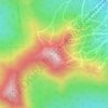
Glover topographic map
Click on the map to display elevation.
Glover
The surface of the town is uneven, with hills and valleys. The highest elevation is Black Hills, at 2,258 feet (688 m), in the south part of town. The town drains northward via the northern branches of the Barton River, and southward via branches of the Passumpsic, Lamoille, and Black Rivers, which have their sources here. Four ponds of considerable size also are found here, Parker Pond, in the north, Clark's pond, in the central, and Sweeney pond in the west, as well as Shadow Lake. Shadow Lake was first called Chambers Pond, then Stone Pond about 1822. In 1922 it was given its current name. The Abenaki had called it Pekdabowk, or Smoke Pond.
About this map
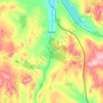
Name: Glover topographic map, elevation, terrain.
Location: Glover, Orleans County, Vermont, United States (44.62410 -72.31569 44.74405 -72.14596)
Average elevation: 470 m
Minimum elevation: 258 m
Maximum elevation: 725 m
Other topographic maps
Click on a map to view its topography, its elevation and its terrain.