Geolocate

Valmayor topographic map

Click on the map to display elevation.

About this map

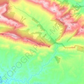
Name: Valmayor topographic map, elevation, terrain.

Location: Valmayor, Andújar, Jaén, Andalucía, España (38.33098 -4.23714 38.44212 -4.14139)

Average elevation: 790 m

Minimum elevation: 444 m

Maximum elevation: 1,319 m

Other topographic maps

Click on a map to view its topography, its elevation and its terrain.

Llanos del Sotillo

España > Andalucía > Andújar

Average elevation: 218 m

Virgen de la Cabeza

España > Andalucía > Andújar

Average elevation: 522 m

Gear up for your next adventure:

🧢Sun Protection Cap - Breathable cap to protect from sun exposure
🌬️Windproof Camp Stove - Efficient cooking even on exposed mountain peaks
🥾Hiking Leggings - Comfortable leggings for outdoor activities
🔦UV Flashlight - Detect minerals or specific insects in the dark
🧢Outdoor Cap - Protective cap for sun and rain during hikes

As an Amazon Associate, this site earns from qualifying purchases at no extra cost to you.