Geolocate

Derapur topographic map

Click on the map to display elevation.

About this map

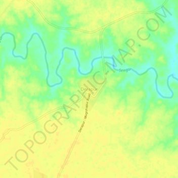
Name: Derapur topographic map, elevation, terrain.

Location: Derapur, Kanpur Dehat District, Uttar Pradesh, 209301, India (26.39860 79.77320 26.43860 79.81320)

Average elevation: 129 m

Minimum elevation: 115 m

Maximum elevation: 136 m

Gear up for your next adventure:

🧭Orienteering Kit - Tools for map reading and navigation in the wild
🧶550 Survival Paracord - Versatile utility cord for emergency repairs and rigging
🧭GPS Outdoor Watch - Smart watch for navigation and fitness tracking in nature
🧦Outdoor Socks - Durable socks designed for hiking and outdoor sports
🪑Insulated Seat Pad - Protect your seat from cold rocks and wet logs

As an Amazon Associate, this site earns from qualifying purchases at no extra cost to you.