
Massenheim topographic map
Interactive map
Click on the map to display elevation.
About this map
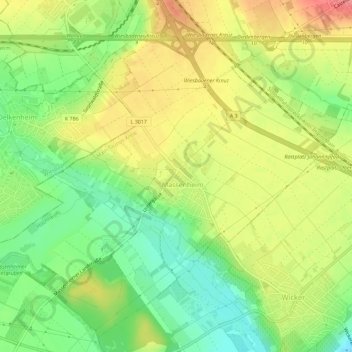
Name: Massenheim topographic map, elevation, terrain.
Location: Massenheim, Hochheim, Main-Taunus-Kreis, Hessen, Deutschland (50.02467 8.35606 50.05813 8.41276)
Average elevation: 139 m
Minimum elevation: 100 m
Maximum elevation: 181 m