Geolocate

Mavalor topographic map

Click on the map to display elevation.

About this map

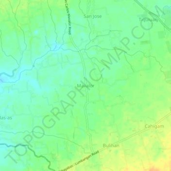
Name: Mavalor topographic map, elevation, terrain.

Location: Mavalor, Rosario, Batangas, Calabarzon, 4225, Philippines (13.79912 121.21245 13.83912 121.25245)

Average elevation: 129 m

Minimum elevation: 116 m

Maximum elevation: 146 m

Other topographic maps

Click on a map to view its topography, its elevation and its terrain.

Pinagsibaan

Philippines > Batangas > Rosario

Average elevation: 57 m

Gear up for your next adventure:

🧴Outdoor Sunscreen - High SPF protection for high-altitude UV exposure
🛌Down Sleeping Bag - Superior warmth-to-weight ratio for cold nights
🦌Outdoor Trail Camera - Monitor wildlife activity near your favorite spots
🥘Camping Cookware Set - Compact nesting pots and pans for trail cooking
🥾Mountain Trail Shoes - High-traction shoes for mountain trails

As an Amazon Associate, this site earns from qualifying purchases at no extra cost to you.