Geolocate

Arue topographic map

Click on the map to display elevation.

About this map
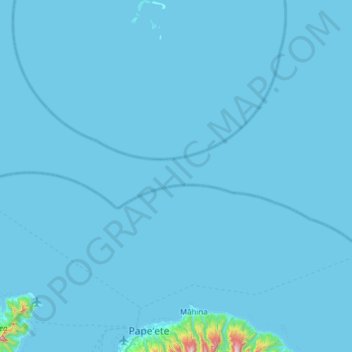
Name: Arue topographic map, elevation, terrain.

Location: Arue, Windward Islands, French Polynesia, 98701, France (-17.57414 -149.59672 -16.98406 -149.48794)

Average elevation: 14 m

Minimum elevation: 0 m

Maximum elevation: 1,263 m

Gear up for your next adventure:

🧦Thermal Socks - Warm socks for winter hiking or camping
❄️Traction Ice Cleats - Slip-on spikes for icy trails and winter hiking
💧Filtered Water Bottle - Safe drinking water on the go
👟Trail Running Shoes - Agile footwear for fast-paced topographic exploration
🧳Compression Sacks - Maximize space in your backpack by shrinking gear

As an Amazon Associate, this site earns from qualifying purchases at no extra cost to you.