Geolocate

Arue topographic map

Click on the map to display elevation.

About this map

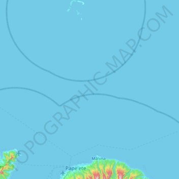
Name: Arue topographic map, elevation, terrain.

Location: Arue, Windward Islands, French Polynesia, 98701, France (-17.57414 -149.59672 -16.98406 -149.48794)

Average elevation: 14 m

Minimum elevation: 0 m

Maximum elevation: 1,263 m

Gear up for your next adventure:

💡LED Headlamp - Hands-free illumination for night hiking and camping
🔦LED Headtorch - Bright and durable light for night activities
🦯Trekking Poles - Reduced impact on joints for steep topographic climbs
🕯️Camping Lantern - Illuminates your entire campsite with high-efficiency LEDs
🥾Mountaineering Boots - Supportive boots for climbing and high-altitude hiking

As an Amazon Associate, this site earns from qualifying purchases at no extra cost to you.