
Laguna San Camilo topographic map
Interactive map
Click on the map to display elevation.
About this map
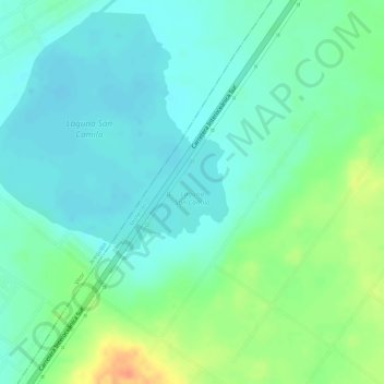
Name: Laguna San Camilo topographic map, elevation, terrain.
Location: Laguna San Camilo, Mollendo, Islay, Arequipa, Perú (-16.73464 -71.95057 -16.72603 -71.94261)
Average elevation: 1,147 m
Minimum elevation: 1,132 m
Maximum elevation: 1,179 m
Other topographic maps
Click on a map to view its topography, its elevation and its terrain.