Geolocate

Odum topographic map

Click on the map to display elevation.

About this map

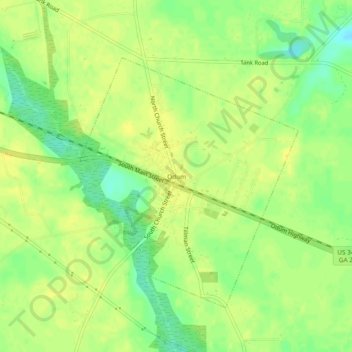
Name: Odum topographic map, elevation, terrain.

Location: Odum, Wayne County, Georgia, 31555, United States (31.64604 -82.04790 31.68604 -82.00790)

Average elevation: 44 m

Minimum elevation: 30 m

Maximum elevation: 52 m

Gear up for your next adventure:

🍽️Titanium Camping Spork - Ultralight and indestructible eating utensil
🪜Heavy Duty Carabiners - Multi-use clips for securing gear to your backpack
🛶Kayak Accessories - Essential gear for safe and fun kayaking adventures
🧥Packable Rain Jacket - Breathable waterproof layer for unpredictable weather
🏕️Camping Hammock - Integrated protection for sleeping between trees

As an Amazon Associate, this site earns from qualifying purchases at no extra cost to you.