Geolocate

Tinana topographic map

Click on the map to display elevation.

About this map

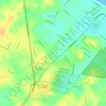
Name: Tinana topographic map, elevation, terrain.

Location: Tinana, Maryborough, Queensland, 4650, Australia (-25.56556 152.65944 -25.54556 152.67944)

Average elevation: 23 m

Minimum elevation: 5 m

Maximum elevation: 39 m

Gear up for your next adventure:

🥾Trekking Boots - Durable boots for long-distance trekking
🧢Hiking Hat - Sun-protective and breathable hats for long treks
🧭Orienteering Kit - Tools for map reading and navigation in the wild
🎒Hiking Backpack - Lightweight and ergonomic backpacks for day hikes or multi-day treks
🍽️Titanium Camping Spork - Ultralight and indestructible eating utensil

As an Amazon Associate, this site earns from qualifying purchases at no extra cost to you.