Geolocate

Colombia topographic map

Click on the map to display elevation.

About this map

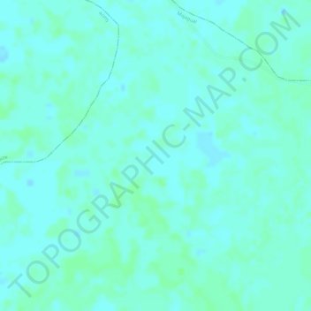
Name: Colombia topographic map, elevation, terrain.

Location: Colombia, Majagual, La Mojana, Sucre, RAP Caribe, Colombia (8.73092 -74.65568 8.75092 -74.63568)

Average elevation: 19 m

Minimum elevation: 15 m

Maximum elevation: 22 m

Gear up for your next adventure:

🧤Insulated Winter Gloves - Heavy-duty protection for sub-zero Canadian adventures
🧥Ultralight Puffy Jacket - Maximum warmth that packs down to the size of an orange
💧Reusable Water Bottle - Durable water bottles for hydration on trails
📷Outdoor Action Camera - Capture high-elevation views and rugged adventures
🥘Camping Cookware Set - Compact nesting pots and pans for trail cooking

As an Amazon Associate, this site earns from qualifying purchases at no extra cost to you.