Geolocate

Palwal topographic map

Click on the map to display elevation.

Palwal

Palwal is located at 28°07′N 77°20′E / 28.12°N 77.33°E / 28.12; 77.33. It has an average elevation of 195 metres (640 ft).

Wikipedia (CC-BY-SA 3.0)

About this map

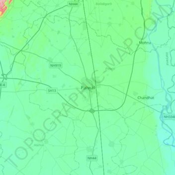
Name: Palwal topographic map, elevation, terrain.

Location: Palwal, Palwal District, Haryana, 121102, India (27.98057 77.16598 28.30057 77.48598)

Average elevation: 195 m

Minimum elevation: 179 m

Maximum elevation: 284 m

Other topographic maps

Click on a map to view its topography, its elevation and its terrain.

Prithla

India > Haryana > Palwal

Average elevation: 196 m

Gear up for your next adventure:

🦟Insect Repellent - Keep mosquitoes and black flies away in wooded areas
🥾All-Terrain Hiking Boots - Versatile boots for varied hiking conditions
🦌Outdoor Trail Camera - Monitor wildlife activity near your favorite spots
🎒Backpack Rain Cover - External shield to keep your entire pack dry
🥾Hiking Gaiters - Protect legs and shoes from mud, snow, and debris

As an Amazon Associate, this site earns from qualifying purchases at no extra cost to you.