
Bagra topographic map
Interactive map
Click on the map to display elevation.
About this map
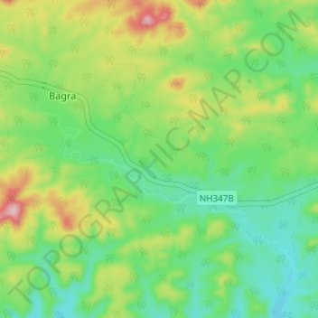
Name: Bagra topographic map, elevation, terrain.
Location: Bagra, Khalwa Tahsil, Khandwa District, Madhya Pradesh, India (21.81098 77.06900 21.84895 77.13026)
Average elevation: 463 m
Minimum elevation: 395 m
Maximum elevation: 589 m