
Dworp topographic map
Interactive map
Click on the map to display elevation.
About this map
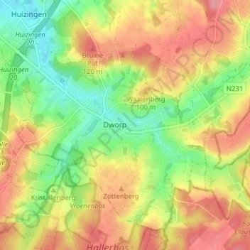
Name: Dworp topographic map, elevation, terrain.
Location: Dworp, Tourneppe, Brabant flamand, Flandre, 1653, Belgique (50.71033 4.28104 50.75033 4.32104)
Average elevation: 81 m
Minimum elevation: 31 m
Maximum elevation: 129 m