
Kemer Damları topographic map
Interactive map
Click on the map to display elevation.
About this map
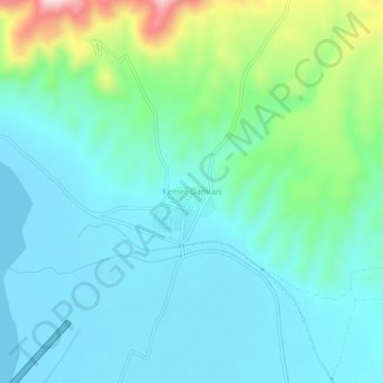
Name: Kemer Damları topographic map, elevation, terrain.
Location: Kemer Damları, Salihli, Manisa, Ägäisregion, Türkei (38.61495 28.08282 38.65495 28.12282)
Average elevation: 141 m
Minimum elevation: 71 m
Maximum elevation: 404 m