
Make a donation
Gear up for your next adventure:
As an Amazon Associate, this site earns from qualifying purchases at no extra cost to you.
Hohentwiel topographic map
Click on the map to display elevation.
Make a donation
Gear up for your next adventure:
As an Amazon Associate, this site earns from qualifying purchases at no extra cost to you.
Hohentwiel
Eine Besonderheit ist das höchste Weinbaugebiet Deutschlands auf einer Höhe von 562 m ü. NHN: An der Südseite des Berges liegen zwei Weingüter. Der nördliche Teil des Hohentwiel ist seit 1988 für die Bundesautobahn 81 auf einer Länge von über 800 Metern untertunnelt.
Make a donation
Gear up for your next adventure:
As an Amazon Associate, this site earns from qualifying purchases at no extra cost to you.
About this map
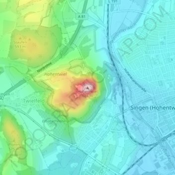
Name: Hohentwiel topographic map, elevation, terrain.
Average elevation: 479 m
Minimum elevation: 424 m
Maximum elevation: 682 m
Make a donation
Gear up for your next adventure:
As an Amazon Associate, this site earns from qualifying purchases at no extra cost to you.