
春日部市 topographic map
Interactive map
Click on the map to display elevation.
About this map
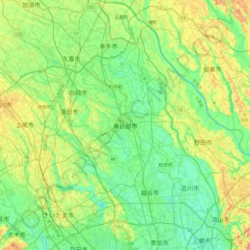
Name: 春日部市 topographic map, elevation, terrain.
Location: 春日部市, Prefectura de Saitama, 344-8577, Japón (35.81506 139.59230 36.13506 139.91230)
Average elevation: 12 m
Minimum elevation: -2 m
Maximum elevation: 31 m