
Boron topographic map
Click on the map to display elevation.
Boron
Boron (formerly Amargo, Baker, Borate, and Kern)[4] is a census-designated place (CDP) in Kern County, California, United States. Boron is 15 miles (24 km) southwest of Red Rock Mountain at an elevation of 2,467 feet (752 m).[4] The population was 2,086 at the 2020 census, up from 2,025 at the 2000 census. Boron is named after the element boron and is the site of the world's largest source of the boron compound boric acid.
About this map
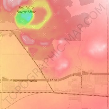
Name: Boron topographic map, elevation, terrain.
Location: Boron, Kern County, California, United States (34.99091 -117.70336 35.05041 -117.63242)
Average elevation: 753 m
Minimum elevation: 583 m
Maximum elevation: 812 m
Other topographic maps
Click on a map to view its topography, its elevation and its terrain.