Geolocate

Modena topographic map

Click on the map to display elevation.

About this map
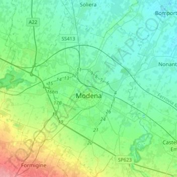
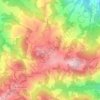
Name: Modena topographic map, elevation, terrain.

Location: Modena, Emilia-Romagna, Italy (44.56295 10.78208 44.74244 11.01227)

Average elevation: 40 m

Minimum elevation: 21 m

Maximum elevation: 104 m

Other topographic maps

Click on a map to view its topography, its elevation and its terrain.
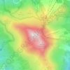
Monte Cimone

Italy > Emilia-Romagna > Modena > Fiumalbo

The mountain has an elevation of 2,165 m and is also the highest point in the Emilia-Romagna region of Italy.

Average elevation: 1,759 m
Montombraro

Italy > Emilia-Romagna > Modena

Average elevation: 566 m

Monte della Torraccia

Italy > Emilia-Romagna > Modena > Montese

Average elevation: 923 m

Galleria

Italy > Emilia-Romagna > Modena > Campogalliano

Average elevation: 40 m

Barigazzo

Italy > Emilia-Romagna > Modena

Average elevation: 1,170 m

Pianorso

Italy > Emilia-Romagna > Modena

Average elevation: 846 m

Villanova

Italy > Emilia-Romagna > Modena > Modena

Average elevation: 32 m

Gear up for your next adventure:

🛏️Sleeping Bag - Warm and compact sleeping bags for outdoor camping
🧢Sun Protection Cap - Breathable cap to protect from sun exposure
🛶Kayak Dry Bag - Waterproof storage for kayaking adventures
🥤Collapsible Travel Cup - Saves space and weight in your mess kit
🧢Sun Hat - Wide-brim hat for sun protection

As an Amazon Associate, this site earns from qualifying purchases at no extra cost to you.