Geolocate

Dutch topographic map

Click on the map to display elevation.

About this map

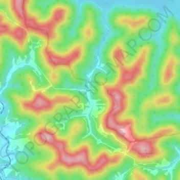
Name: Dutch topographic map, elevation, terrain.

Location: Dutch, Braxton County, West Virginia, 26627, United States (38.78510 -80.63815 38.82510 -80.59815)

Average elevation: 328 m

Minimum elevation: 235 m

Maximum elevation: 446 m

Other topographic maps

Click on a map to view its topography, its elevation and its terrain.

Flatwoods

United States > West Virginia > Braxton County

Average elevation: 364 m

Sutton

United States > West Virginia > Braxton County

Average elevation: 320 m

Gear up for your next adventure:

🛶Kayak Dry Bag - Waterproof storage for kayaking adventures
🥾Trekking Boots - Durable boots for long-distance trekking
💡Compact LED Flashlight - Powerful and portable flashlight for outdoor use
💧Reusable Water Bottle - Durable water bottles for hydration on trails
🥾Waterproof Hiking Shoes - Durable shoes for wet and rugged trails

As an Amazon Associate, this site earns from qualifying purchases at no extra cost to you.