Geolocate

Wetsel topographic map

Click on the map to display elevation.

About this map

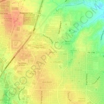
Name: Wetsel topographic map, elevation, terrain.

Location: Wetsel, Allen, Collin County, Texas, 75609, United States (33.10956 -96.66444 33.14956 -96.62444)

Average elevation: 200 m

Minimum elevation: 172 m

Maximum elevation: 217 m

Gear up for your next adventure:

🥾Trail Running Boots - Durable shoes designed for trail running
🧴Insect Repellent - Protect yourself from bugs during outdoor adventures
🥾Mountain Hiking Boots - High-traction boots for rocky terrain
🛁Quick-Dry Microfiber Towel - Space-saving towel that dries rapidly on the move
💧Hydration Pack - Hands-free hydration system for long hikes

As an Amazon Associate, this site earns from qualifying purchases at no extra cost to you.