Geolocate

Lezzaruole topographic map

Click on the map to display elevation.

About this map

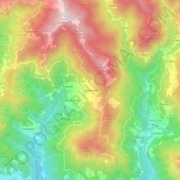
Name: Lezzaruole topographic map, elevation, terrain.

Location: Lezzaruole, Neirone, Genoa, Liguria, 16024, Italy (44.44133 9.15033 44.48133 9.19033)

Average elevation: 565 m

Minimum elevation: 208 m

Maximum elevation: 946 m

Gear up for your next adventure:

👖Convertible Hiking Pants - Zip-off legs to adapt to changing weather conditions
❄️Traction Ice Cleats - Slip-on spikes for icy trails and winter hiking
🥾Approach Boots - Comfortable boots for hiking and climbing approaches
🔋Solar Power Bank - Keep your GPS and devices charged during long outdoor trips
🛌Insulated Sleeping Pad - Critical thermal barrier between you and the cold ground

As an Amazon Associate, this site earns from qualifying purchases at no extra cost to you.