
Thank you for supporting this site ❤️
Make a donation
Make a donation
Gear up for your next adventure:
As an Amazon Associate, this site earns from qualifying purchases at no extra cost to you.
Sint-Katelijne-Waver topographic map
Click on the map to display elevation.
Thank you for supporting this site ❤️
Make a donation
Make a donation
Gear up for your next adventure:
As an Amazon Associate, this site earns from qualifying purchases at no extra cost to you.
About this map
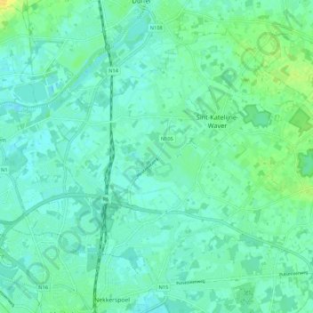
Name: Sint-Katelijne-Waver topographic map, elevation, terrain.
Location: Sint-Katelijne-Waver, Mechelen, Antwerp, Flanders, 2860, Belgium (51.03465 4.46281 51.08979 4.56976)
Average elevation: 6 m
Minimum elevation: -1 m
Maximum elevation: 22 m
Thank you for supporting this site ❤️
Make a donation
Make a donation
Gear up for your next adventure:
As an Amazon Associate, this site earns from qualifying purchases at no extra cost to you.