Geolocate

Castello topographic map

Click on the map to display elevation.

About this map

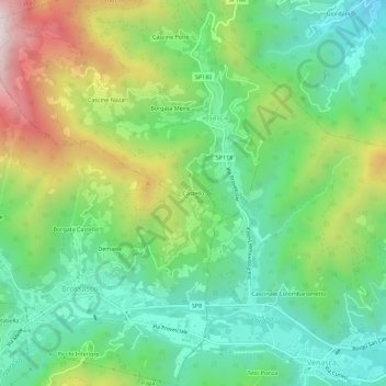
Name: Castello topographic map, elevation, terrain.

Location: Castello, Isasca, Cuneo, Piedmont, Italy (44.55972 7.35817 44.59972 7.39817)

Average elevation: 756 m

Minimum elevation: 465 m

Maximum elevation: 1,310 m

Gear up for your next adventure:

🧶550 Survival Paracord - Versatile utility cord for emergency repairs and rigging
💧Filtered Water Bottle - Safe drinking water on the go
🗺️Topographic Maps - Detailed maps to explore trails, mountains, and wilderness areas
🎒Backpack Rain Cover - External shield to keep your entire pack dry
🥫Freeze-Dried Meals - Lightweight, high-calorie nutrition for multi-day treks

As an Amazon Associate, this site earns from qualifying purchases at no extra cost to you.