
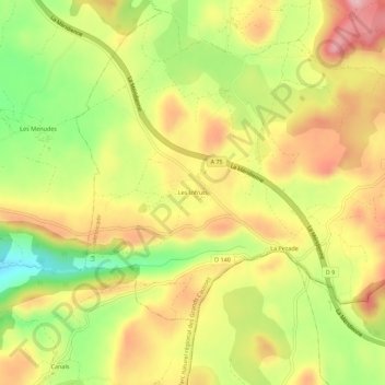
Les Infruts topographic map
Interactive map
Click on the map to display elevation.
About this map
Name: Les Infruts topographic map, elevation, terrain.
Average elevation: 768 m
Minimum elevation: 660 m
Maximum elevation: 862 m
Other topographic maps
Click on a map to view its topography, its elevation and its terrain.
Puech Grand
France > Occitanie > Aveyron > La Couvertoirade
Puech Grand, La Couvertoirade, Millau, Aveyron, Occitanie, France métropolitaine, 12230, France
Average elevation: 795 m
La Blaquererie
France > Occitanie > Aveyron > La Couvertoirade
La Blaquererie, La Couvertoirade, Millau, Aveyron, Occitanie, France métropolitaine, 12230, France
Average elevation: 769 m