Geolocate

Lawis topographic map

Click on the map to display elevation.

About this map

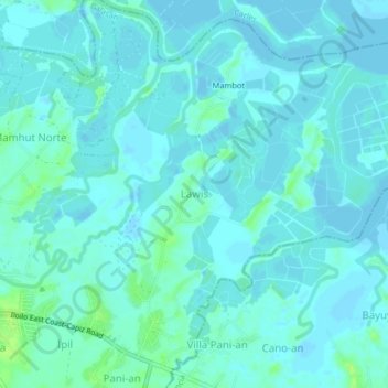
Name: Lawis topographic map, elevation, terrain.

Location: Lawis, Balasan, Iloilo, Western Visayas, 5018, Philippines (11.46105 123.09582 11.50105 123.13582)

Average elevation: 3 m

Minimum elevation: -4 m

Maximum elevation: 14 m

Gear up for your next adventure:

🥾Waterproof Hiking Boots - Essential footwear for rugged terrain and wet Canadian trails
🛶Canoe Life Vest - Safety vest for water sports
🎒Hiking Backpack - Lightweight and ergonomic backpacks for day hikes or multi-day treks
🧦Outdoor Socks - Durable socks designed for hiking and outdoor sports
🐕Hiking Dog Pack - Let your canine companion carry their own water and food

As an Amazon Associate, this site earns from qualifying purchases at no extra cost to you.