Geolocate

Byng topographic map

Click on the map to display elevation.

About this map

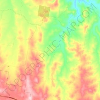
Name: Byng topographic map, elevation, terrain.

Location: Byng, Cabonne Council, New South Wales, 2800, Australia (-33.37705 149.19056 -33.31500 149.29061)

Average elevation: 866 m

Minimum elevation: 719 m

Maximum elevation: 1,009 m

Gear up for your next adventure:

🧭Orienteering Kit - Tools for map reading and navigation in the wild
🚲Handlebar Phone Mount - View topographic-map.com live while cycling
🔦LED Flashlight - Powerful and long-lasting flashlight for camping and emergencies
🍽️Titanium Camping Spork - Ultralight and indestructible eating utensil
🥾Trail Running Boots - Durable shoes designed for trail running

As an Amazon Associate, this site earns from qualifying purchases at no extra cost to you.