Geolocate

Bansihari topographic map

Click on the map to display elevation.

About this map

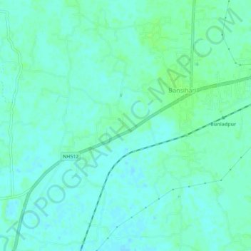
Name: Bansihari topographic map, elevation, terrain.

Location: Bansihari, Dakshin Dinajpur, West Bengal, 733121, India (25.37036 88.37402 25.41036 88.41402)

Average elevation: 27 m

Minimum elevation: 23 m

Maximum elevation: 32 m

Gear up for your next adventure:

🔭Outdoor Binoculars - Lightweight binoculars for birdwatching and hiking
🦶Anti-Blister Balm - Prevents friction and hotspots during long ascents
🍽️Titanium Camping Spork - Ultralight and indestructible eating utensil
💧Hydration Bladder - Hands-free hydration solution for long treks
🥾Trail Running Shoes - Lightweight and durable shoes for trail running

As an Amazon Associate, this site earns from qualifying purchases at no extra cost to you.