Geolocate

Weitisberga topographic map

Click on the map to display elevation.

About this map

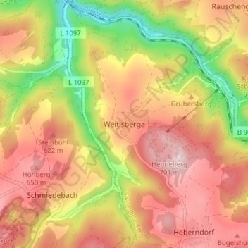
Name: Weitisberga topographic map, elevation, terrain.

Location: Weitisberga, Wurzbach, Saale-Orla-Kreis, Thuringia, Germany (50.48399 11.47666 50.52399 11.51666)

Average elevation: 539 m

Minimum elevation: 350 m

Maximum elevation: 681 m

Gear up for your next adventure:

Tent Footprint - Protect tent floor and increase durability
Family Camping Tent - Spacious tent suitable for family camping trips
🛏️Camping Sleeping Mat - Comfortable mats for sleeping outdoors
🛌Insulated Sleeping Pad - Critical thermal barrier between you and the cold ground
🚲Handlebar Phone Mount - View topographic-map.com live while cycling

As an Amazon Associate, this site earns from qualifying purchases at no extra cost to you.