Geolocate

Hindaun topographic map

Click on the map to display elevation.

Hindaun

Hindaun has an average elevation of 235 metres (771 ft). Its distance from the state capital of Jaipur is around 150 km.

Wikipedia (CC-BY-SA 3.0)

About this map

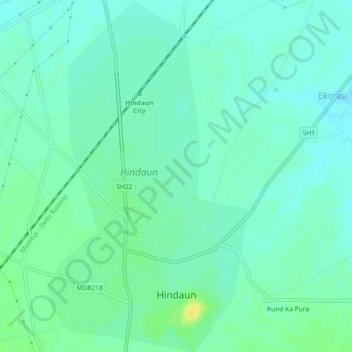
Name: Hindaun topographic map, elevation, terrain.

Location: Hindaun, Hindaun Tehsil, Karauli, Rajasthan, 322230, India (26.72583 77.01950 26.76664 77.04561)

Average elevation: 230 m

Minimum elevation: 223 m

Maximum elevation: 244 m

Gear up for your next adventure:

💧Reusable Water Bottle - Durable water bottles for hydration on trails
🥾Lightweight Hiking Shoes - Comfortable shoes for day hikes
🥾Trail Hiking Boots - Supportive boots for rough trails
🛌Down Sleeping Bag - Superior warmth-to-weight ratio for cold nights
🏕️Camping Hammock - Integrated protection for sleeping between trees

As an Amazon Associate, this site earns from qualifying purchases at no extra cost to you.