Geolocate

Rapur topographic map

Click on the map to display elevation.

Rapur

Rapur is located at 14.2000°N 79.5167°E. It has an average elevation of 90 meters (298 feet). Rapur comes under Nellore district and has a border with Kadapa district. Rapur town is surrounded by very big hills named veligonda which makes it a sightseeing place especially in winter and rainy seasons. Agriculture plays a vital role and rice as a major crop.

Wikipedia (CC-BY-SA 3.0)

About this map

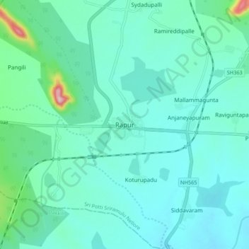
Name: Rapur topographic map, elevation, terrain.

Location: Rapur, Sri Potti Sriramulu Nellore, Andhra Pradesh, 524408, India (14.16087 79.49325 14.24087 79.57325)

Average elevation: 91 m

Minimum elevation: 56 m

Maximum elevation: 287 m

Gear up for your next adventure:

🥾Trekking Poles - Adjustable trekking poles to reduce knee stress and improve stability
🔦LED Headlamp - Hands-free lighting for early morning starts or late finishes
💡Solar Camping Lamp - Eco-friendly lighting for campsites
🧴Sunscreen SPF - Broad-spectrum sunscreen for outdoor activities
📷Outdoor Action Camera - Capture high-elevation views and rugged adventures

As an Amazon Associate, this site earns from qualifying purchases at no extra cost to you.