Geolocate

Changtang topographic map

Click on the map to display elevation.

About this map

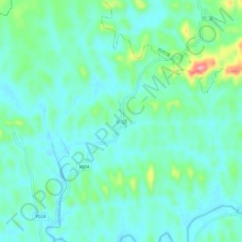
Name: Changtang topographic map, elevation, terrain.

Location: Changtang, Yangjiang, Fenyi County, Xinyu, Jiangxi, China (27.88537 114.51922 27.92537 114.55922)

Average elevation: 98 m

Minimum elevation: 73 m

Maximum elevation: 187 m

Gear up for your next adventure:

Tent Footprint - Protect tent floor and increase durability
🛶Canoe Life Vest - Safety vest for water sports
🥾Waterproof Hiking Boots - Essential footwear for rugged terrain and wet Canadian trails
🧊Portable Cooler - Keep food and drinks cold during outdoor adventures
🛶Kayak Accessories - Essential gear for safe and fun kayaking adventures

As an Amazon Associate, this site earns from qualifying purchases at no extra cost to you.