Geolocate

Waifad topographic map

Click on the map to display elevation.

About this map

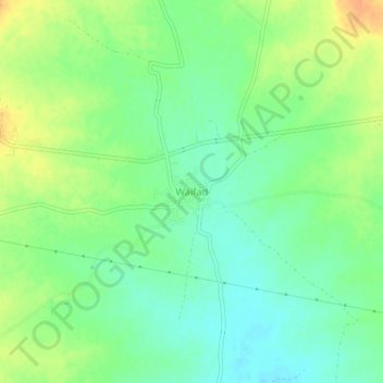
Name: Waifad topographic map, elevation, terrain.

Location: Waifad, Wardha, Maharashtra, India (20.73873 78.42099 20.77873 78.46099)

Average elevation: 281 m

Minimum elevation: 266 m

Maximum elevation: 301 m

Gear up for your next adventure:

🦟Insect Repellent - Keep mosquitoes and black flies away in wooded areas
🕶️Polarized Sunglasses - Reduces glare from snow and water at high elevations
💧Hydration Pack - Hands-free hydration system for long hikes
👖Convertible Hiking Pants - Zip-off legs to adapt to changing weather conditions
🎒Hiking Daypack - Lightweight and durable backpacks for day trips and excursions

As an Amazon Associate, this site earns from qualifying purchases at no extra cost to you.